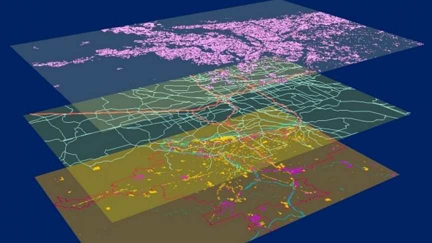
We are looking for a GIS System Design and Data Management Expert to support the Oman National Spatial Strategy of the Supreme Council for Planning in Oman.
Oman National Spatial Strategy
The Supreme Council for Planning in Oman has embarked on an ambitious project, the first Oman National Spatial Strategy, or the ONSS. When complete it will provide a comprehensive spatial framework for directing, organizing and implementing sustainable high quality urban and rural development in the Sultanate of Oman for the next 20 years (till 2040).
It is intended to provide incentives for enhancing socio-economic prosperity in combination with improving the environment for future generations. In short, a new solid framework for a national and regional land use strategy must ensure a more balanced sustainable socio-economic and spatial development in the Sultanate. It shall also provide guidance and directions for local structural and detailed plans to be developed later, as well as for the consecutive five-year national development plans.
As part of the ONSS, regional spatial strategies for each governorate in the Sultanate will be elaborated. Each regional spatial strategy shall comprise a single development plan with related regulatory instruments at the local level. The regional spatial strategies will be important building blocks of the ONSS, which aims to integrate them into one national strategy with one vision, regulatory instruments and tools for implementation. It will also include implementation programs and proposals for a legal planning framework, a new planning information system and capacity building programs.
Key topics to be considered in the ONSS:
- Achieve well balanced urban development with economic diversification in a sustainable, efficient and effective way.
- Improve protection and enforcement of vulnerable areas and cultural heritage, as well as a better integration in spatial-economic developments.
- Improve efficient land use and spatial quality of the living and working environment in Oman.
- Facilitate mobility and improve infrastructure and service delivery systems in a coherent and sustainable manner to support planned urban developments.
- Anticipate and mitigate climate change.
- Integrate the transformation to the use of clean non-fossil energy.
- Account for and respond to mega-trends, both regionally and internationally, that would impact development in the coming decades.
- Stimulate more comprehensive public participation in the planning process.
GIS System Design and Data Management Expert
Educational Qualification:
- Minimum Bachelor’s degree
- Degree: GIS/Information Systems/Information Technology
Job Description:
- Gather, study and analyse GIS requirements, existing GIS infrastructure and Enterprise Geodatabase and prepare a plan to develop an enterprise-wide GIS solution
- Supervise and manage the development, implementation and maintenance of an enterprise GIS
- Create GIS data standards and procedures and supervise their implementation, maintenance and acceptance
- Plan for and supervise future developments to the GIS system (integration with other systems etc.)
- Manage the development of the team responsible operating, maintaining and supporting the enterprise GIS
- Review and evaluate GIS related reports and documents and develop new documentations as required
- Liaising with key-stakeholders and team members and responsible for knowledge transfer to the team, including training and capacity development
Type of Experience:
- Solid experience with development and management of Enterprise GIS/IT Solutions.
- Solid experience and Knowledge in GIS Systems Design, Enterprise GIS database modelling and management
- Experience in developing GIS enabled Decision Supports Systems.
- Experience in developing national SDI level databases, systems and platforms.
- Strong background and experience in spatial/urban planning is preferable
- Knowledge and experience in using GIS technology and methodologies to help in the process of spatial planning, scenarios developments and spatial data modelling and analysis
- Knowledge and experience in national and international standards in GIS systems and data management
Years of Experience: Minimum 15 years
Language and countries/regions
- Good command of English and (preferably) Arabic languages
- Has work experience in Oman or other countries with similar context
- Has advanced written and verbal communication skills
For more information, please contact info@consult2050.com referencing N182621.
This job is no longer accepting applications.
